Cruden Bay walk · Stop 3 of 6
Port Erroll harbour
Fiction · Story setting · The Watter’s Mou’, 1895
Before it becomes a story setting, this is a place of boats, work and shelter. Read the harbour with those practical demands in mind: they give Bram’s coastal fiction much of its force.
Look down into the tiny harbour, cut from the rocks at the eastern end of the bay. Bram came to know Port Erroll’s fishing families on his summer visits, and here the sea meant both a living and a danger – both mattered to his fiction.
In The Watter’s Mou’ (1895), the coastguard Sailor Willie loves Maggie MacWhirter, whose father is involved in smuggling. The story opens on a wild night, with the coastguard pacing his lookout on the cliff above this harbour. Its conflict between duty and loyalty gives these quays a specific literary connection.
On the approach, the former Rocket House and the Salmon Bothy recall the rescue crews and salmon fishers of the working coast, the world behind Bram’s story.
Look for
The former Rocket House and Salmon Bothy on the approach, identified from the guide’s photographs. Then the harbour basins, and the cliff top above them where the story places the coastguard’s lookout.
Read
“In the little lookout house on the top of the cliff over the tiny harbor of Port Erroll the coastguard on duty was pacing rapidly to and fro.”
“The harbor of Port Erroll is a tiny haven of refuge won from the jagged rocks that bound the eastern side of Cruden Bay.”
Evidence
The story names Port Erroll and Cruden Bay, so the setting is Bram’s own; its people are fictional. Quotations follow the 1895 New York edition, which uses American spelling.
Practical information
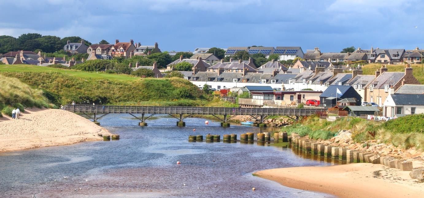
Working harbour: keep clear of operations and the water’s edge. The next section returns along Harbour Street to the beach bridge.
Walking to the next stop Retrace Harbour Street to the signed beach approach. Cross the Water of Cruden on Ladiesbridge; do not try to cross the river mouth on the sand.